1st Kibworth Scouts
19th September 2022 | Clubs and Societies
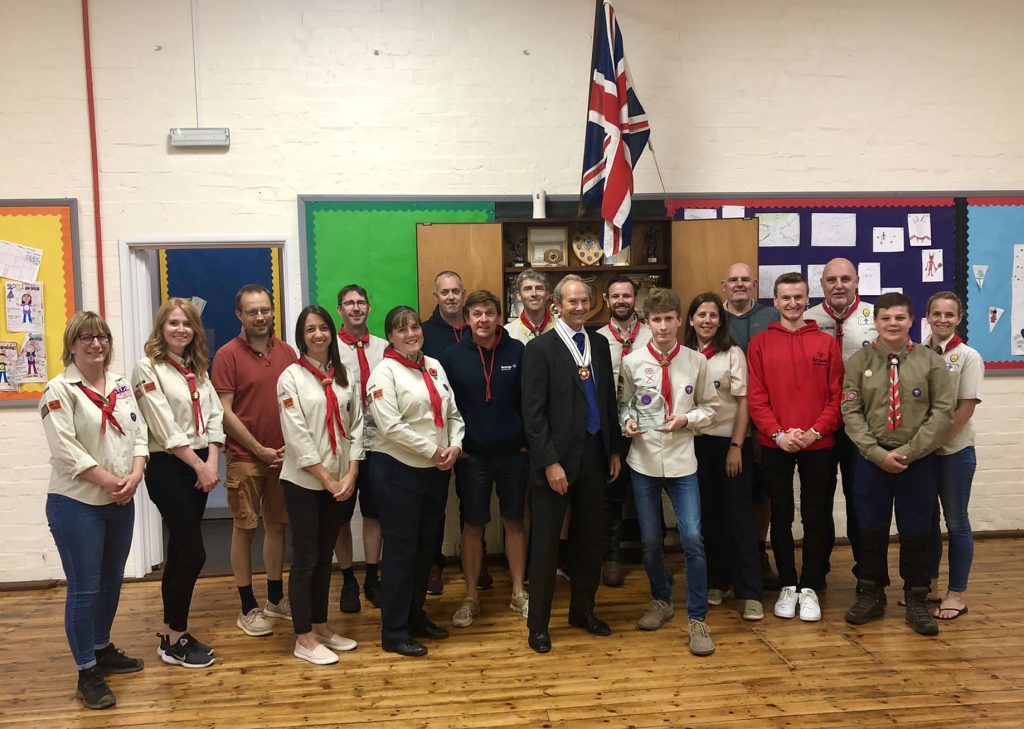
To celebrate Her Majesty the Queen’s Platinum Jubilee, Michael Kapur, Lord Lieutenant of Leicestershire instigated the Community and Business Awards. These awards recognise the achievements of local Community groups, Schools and Businesses within the county and city. Exceptional achievements that develop a community spirit, enrich the lives of their members, pupils or employees and the wider community.
Read more