
Ordnance Survey on your Operating System


The Journey is the quarterly magazine of the Youth Hostel Association. Recently there was a short, potted history of Ordnance Survey (OS) mapping through the centuries. Readers might be interested to know that Ordnance Survey has been mapping Britain since 1791. Governments, businesses, the military and of course, outdoor pursuit enthusiasts, rely on the maps and data that is available from this august provider. Ordnance Survey’s origins lie in military strategy, with the Scottish Highlands first being mapped area after a rebellion in 1745. Later, as the French Revolution rumbled across the channel the government decided it should survey England’s exposed coasts. For this task, the Board of Ordnance was founded on 21st June 1791. However, it took a further decade for the first map to appear.
The 1801 map
Kent was identified as having the most vulnerability in its coastline and therefore the highest susceptibility to attack. So the first map OS created was that of England’s most south-easterly county. Because of its specific purpose, the map focused on communication routes. It also included hill shading to ensure an understanding of the landscape.
Mid to late 1800s
In 1841 the Surveyors Act gave OS surveyors a legal right to enter into and upon any land for the purposes of making and carrying out a survey. Zincography (using zinc sheets) began to replace lithography (using stone) as a method of printing. Copperplate engraving was still used for the one-inch maps. In 1855 photography was introduced to the mapmaking process. There became an increased demand for accurate maps at a variety of scales. Railway building was in full swing throughout Britain. 1887 saw colour printing begin.
1900-1940s
The First World War caused OS staff to be posted overseas. But, despite this, it went on to print 33 million maps during the conflict. An astounding 342 million was printed during the Second World War!
Following the First World War the nation wanted to get outside and explore. This brought more cyclists and motorists onto the roads and sent ramblers and walkers into the countryside. This led to relevant features being emphasised on OS maps. Leisure mapping was born.
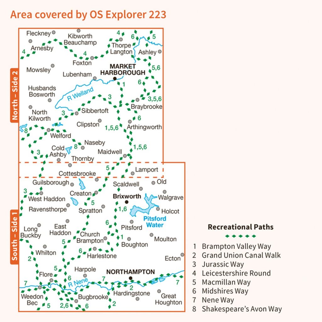
On 18 April 1936 the trig pillar was first used in the re triangulation of Great Britain. A group of surveyors gathered around a white concrete pillar in a field in nearby Cold Ashby, Northamptonshire. They began the monumental task of mapping Great Britain. The re triangulation of Britain was completed in 1962. OS maps all began to use a reference system called British National Grid to identity the position of any feature. Also, aerial surveying was used alongside field surveyors to speed up the process.
1970-1980s
These decades saw the advent of digital mapping. Computers were first used in 1971, but it wasn’t until 1995 that 230,000 maps were digitised. Britain was the first country in the world to complete a programme of large-scale electronic mapping.
2000s
In 2001 OS MasterMap was launched. From topology to green spaces, OS MasterMap today includes 500 million real-world objects including roads, buildings, parks and waterways. It is relied upon by thousands of customers across governments and the public and private sector. Meanwhile, 2015 saw the introduction of the OS Maps app. This offers instant access to every OS Explorer and OS Landranger map to view, print or download.
Today
The modern equivalent to trig pillars is the OS Net network of more than 110 Global Navigation Satellite System (GNSS) receivers. Surveys use OS Net and GNSS technology every day to instantly position new map detail to within a few centimetres. What took many hours at Cold Ashby in 1936 can now be done in seconds and to a far greater degree of accuracy.